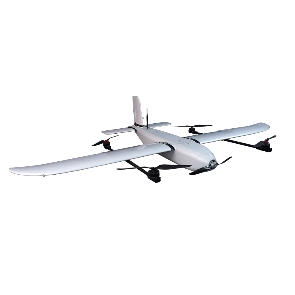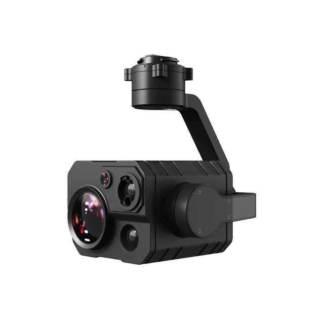
Inspired Flight Sentera 65R Payload for IF800
The Sentera 65R Payload, designed for seamless integration with the Inspired Flight IF800 drone, is a high-resolution, dual-imager sensor system built for agriculture, environmental monitoring, and aerial mapping applications. Delivering unmatched image quality and real-time data capture, the Sentera 65R enables professionals to make smarter, data-driven decisions in the field.
Dual-Sensor System – Combines 65MP RGB with multispectral imaging.
Ultra-High Resolution – Delivers centimeter-level accuracy for mapping and surveying.
Real-Time Data Capture – Immediate insights for agriculture and environmental monitoring.
Lightweight & UAV-Optimized – Designed to maximize flight time with the IF800.
Seamless Integration – Fully compatible with Inspired Flight IF800 UAV.
Professional Applications – Supports precision agriculture, forestry, and research.
Engineered with RGB + multispectral imaging, it captures precise datasets ideal for crop health monitoring, vegetation analysis, and land surveying. Its lightweight, UAV-optimized design ensures maximum efficiency and endurance during missions, making it a trusted solution for precision agriculture and environmental research.
🌟 Key Features
Dual-Sensor System – Combines 65MP RGB with multispectral imaging.
Ultra-High Resolution – Delivers centimeter-level accuracy for mapping and surveying.
Real-Time Data Capture – Immediate insights for agriculture and environmental monitoring.
Lightweight & UAV-Optimized – Designed to maximize flight time with the IF800.
Seamless Integration – Fully compatible with Inspired Flight IF800 UAV.
Professional Applications – Supports precision agriculture, forestry, and research.
🔧 Technical Specifications (General)
Resolution: 65MP RGB + multispectral
Sensor Type: Full-frame CMOS with multispectral array
Integration: Native support with Inspired Flight IF800
Weight: Lightweight, drone-optimized build
Output: High-resolution orthomosaics, NDVI, NDRE, and crop analytics
Use Case: Agriculture, environmental monitoring, surveying
🌱 Applications
🌾 Precision Agriculture – Monitor crop health, detect stress, optimize input usage.
🌳 Forestry Management – Assess forest canopy, biomass, and tree health.
🏞 Environmental Monitoring – Track ecosystems, wetlands, and land-use changes.
📍 Aerial Mapping & Surveying – Produce high-resolution maps with advanced analytics.
🔬 Research & Development – Capture accurate datasets for scientific analysis.
👉 The Inspired Flight Sentera 65R Payload for IF800 empowers operators with actionable aerial intelligence, delivering high-resolution, multispectral data for agriculture, environmental studies, and professional mapping missions.
Popular Item
Related Products
.webp)