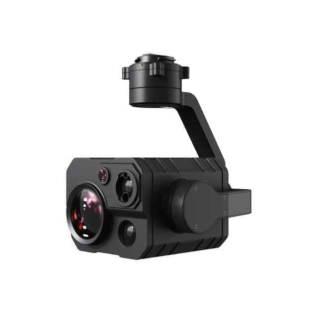

DJI Zenmuse H30T
The DJI Zenmuse H30T is DJI’s latest all-in-one quad-sensor gimbal camera, built for public safety, inspection, and aerial monitoring missions. Equipped with a wide-angle camera, zoom camera, thermal imaging sensor, and laser rangefinder, the H30T provides unmatched versatility and imaging performance for UAV operations.
Zoom Camera: Powerful optical & digital zoom for detailed inspection.
Wide-Angle Camera: Wide FOV for situational awareness.
Thermal Camera: High-resolution thermal imaging with multiple color palettes.
Laser Rangefinder: Accurate distance measurement for mapping & targeting.
Engineered for the DJI Matrice 300 RTK and Matrice 350 RTK platforms, this high-precision payload enables operators to conduct search & rescue, firefighting, infrastructure inspection, and environmental monitoring with greater efficiency and clarity—day or night.
🌟 Key Features
Quad-Sensor Integration
Zoom Camera: Powerful optical & digital zoom for detailed inspection.
Wide-Angle Camera: Wide FOV for situational awareness.
Thermal Camera: High-resolution thermal imaging with multiple color palettes.
Laser Rangefinder: Accurate distance measurement for mapping & targeting.
Advanced Imaging
Supports high-resolution photography & video across multiple modes.
Enhanced low-light performance for nighttime operations.
Radiometric thermal imaging for temperature measurements.
Intelligent Functions
AI-based object detection & tracking.
Real-time thermal analysis & alarms.
Seamless integration with DJI Pilot 2 and mapping workflows.
Rugged & Reliable
Designed for all-weather operation.
Stable 3-axis gimbal ensures clear imaging in demanding conditions.
🔧 Technical Highlights (General)
Zoom Camera: Up to 34x optical zoom (hybrid zoom up to ~400x)
Wide Camera: High-resolution wide-angle imaging
Thermal Sensor: High-res radiometric thermal with temperature accuracy
Laser Rangefinder: Precise measurements up to 1,200m+
Compatibility: DJI M300 RTK, M350 RTK
Weight: ~900g (approx., varies by configuration)
🚀 Applications
🚒 Firefighting & Rescue – Locate hotspots, assess fire spread, and guide rescue teams.
👮 Public Safety & Security – Search & rescue, surveillance, and emergency response.
⚡ Infrastructure Inspection – Power lines, pipelines, solar panels, and wind turbines.
🌳 Environmental Monitoring – Wildlife tracking, forestry, and conservation projects.
🛰 Surveying & Mapping – Precision geospatial data collection.
👉 The DJI Zenmuse H30T redefines aerial imaging with its quad-sensor versatility, intelligent functions, and industry-grade performance. Whether for safety, inspection, or research, it delivers unparalleled clarity and actionable insights in every mission.
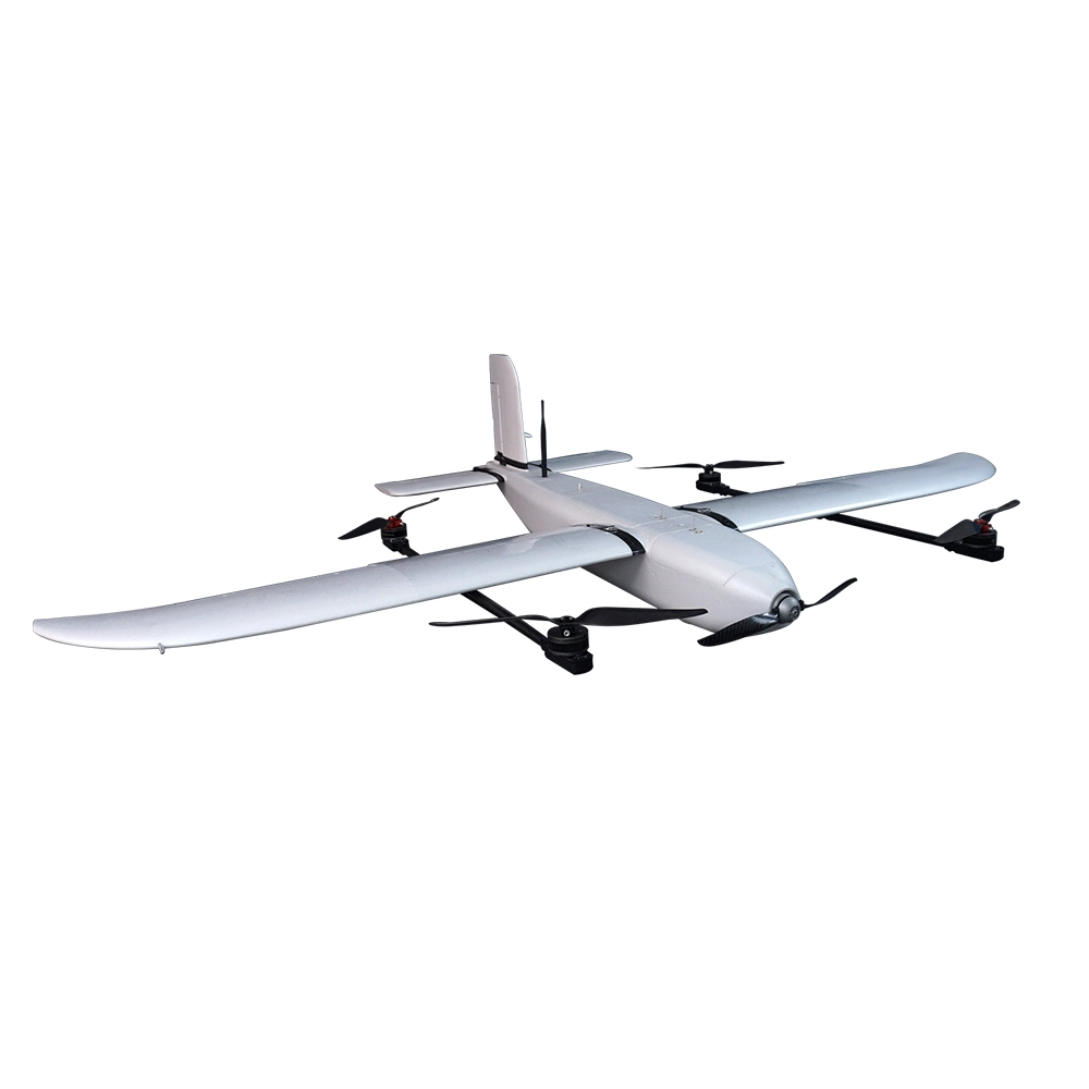
Popular Item
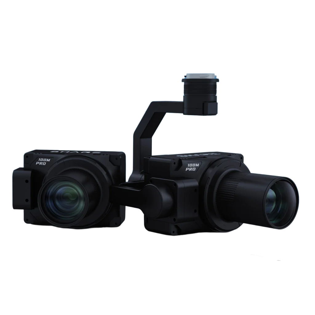
Related Products
.webp)