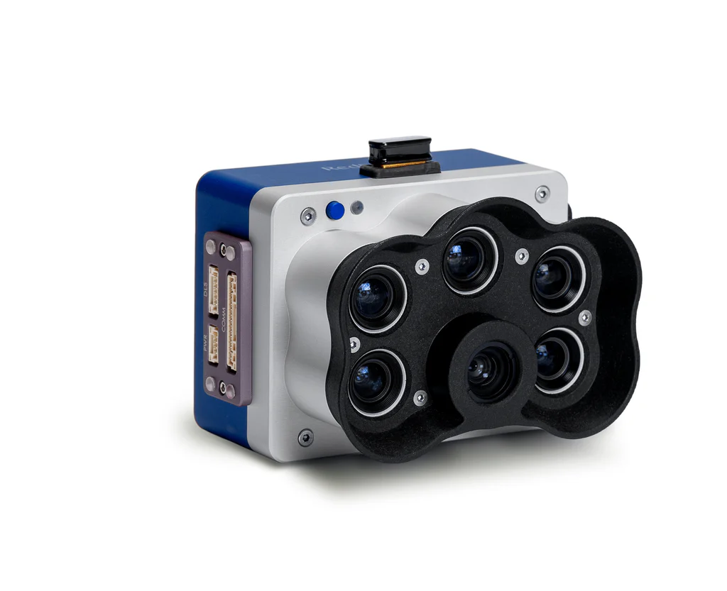
Micasense RedEdge-P – Multispectral Camera
The MicaSense RedEdge-P is a professional-grade multispectral sensor designed for agriculture, environmental monitoring, and aerial mapping. With its high-resolution panchromatic imager and five narrowband multispectral bands, the RedEdge-P enables the generation of detailed, accurate vegetation indices and high-quality orthomosaics from UAV platforms.
High-Resolution Panchromatic Sensor – Enables pan-sharpened multispectral outputs.
Five Multispectral Bands – Blue, Green, Red, Red Edge, Near-IR for vegetation analysis.
Sub-Centimeter Resolution – Capture highly detailed orthomosaics and vegetation indices.
Wide Compatibility – Works with a variety of UAVs and mounting systems.
High Radiometric Accuracy – Ensures consistent, reliable data across flights.
Compact & Rugged Design – Optimized for long UAV missions in diverse conditions.
This advanced camera captures sub-centimeter resolution imagery, allowing users to detect crop stress, optimize input usage, and conduct large-scale agricultural analytics with ease. Built for durability and efficiency, the RedEdge-P integrates seamlessly with drones and supports real-time data processing, making it a trusted tool for precision agriculture and research.
🌟 Key Features
High-Resolution Panchromatic Sensor – Enables pan-sharpened multispectral outputs.
Five Multispectral Bands – Blue, Green, Red, Red Edge, Near-IR for vegetation analysis.
Sub-Centimeter Resolution – Capture highly detailed orthomosaics and vegetation indices.
Wide Compatibility – Works with a variety of UAVs and mounting systems.
High Radiometric Accuracy – Ensures consistent, reliable data across flights.
Compact & Rugged Design – Optimized for long UAV missions in diverse conditions.
Analytics Ready – Supports NDVI, NDRE, and other crop health indices.
🔧 Technical Specifications (General)
Panchromatic Resolution: 5.1MP
Multispectral Resolution: 1.6MP per band
Bands: Blue, Green, Red, Red Edge, Near-IR
Field of View (FOV): ~45°
Weight: ~230g
Output: Calibrated reflectance maps, vegetation indices, pan-sharpened imagery
Integration: Compatible with popular UAV platforms (DJI, Inspired Flight, custom builds)
🌱 Applications
🌾 Precision Agriculture – Crop health monitoring, disease detection, yield optimization.
🌳 Forestry & Ecology – Vegetation classification, biomass estimation, and ecosystem monitoring.
🏞 Environmental Monitoring – Wetlands, coastal studies, and land-use mapping.
📍 Research & Development – High-quality datasets for scientific analysis.
🛰 Surveying & Mapping – Generate accurate geospatial data for planning and analysis.
👉 The MicaSense RedEdge-P Multispectral Camera is a powerful, reliable, and field-proven tool that delivers actionable insights for agriculture, research, and environmental monitoring—making it a top choice for professionals seeking precision and accuracy in aerial data collection.
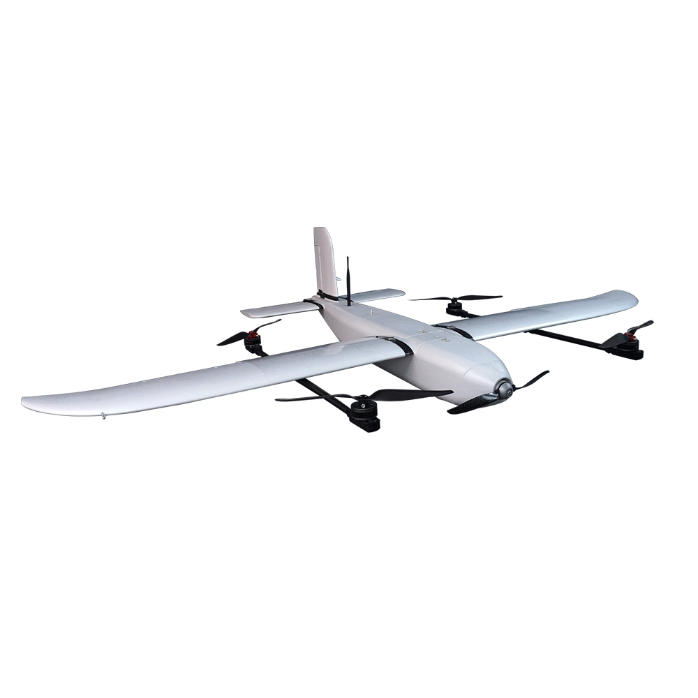
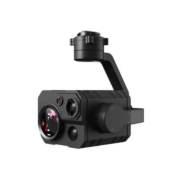
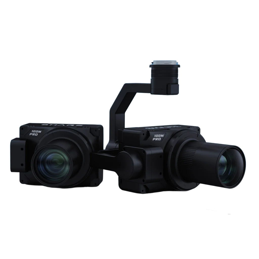
Popular Item
Related Products
.webp)