
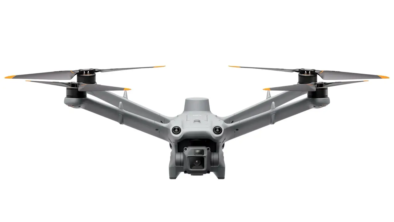
DJI Matrice 3D – With DJI Dock 2
This bundle combines DJI's specialized Matrice 3D drone with the Dock 2 station to create an autonomous “drone-in-a-box” capable of remote, scheduled mapping and inspection missions with minimal human intervention. It's a turnkey solution tailored for high-precision aerial tasks.
Compact & Portable: 75 lbs (34 kg), 75% smaller and 68% lighter than its predecessor—two people can easily carry it.
Durability: IP55-rated for robust protection against dust and water.
Smart Deployment:
Built-in environmental sensors and fisheye cameras for site evaluation before flight.
Fast charging—from 20% to 90% in just ~32 minutes.
This bundle combines DJI's specialized Matrice 3D drone with the Dock 2 station to create an autonomous “drone-in-a-box” capable of remote, scheduled mapping and inspection missions with minimal human intervention. It's a turnkey solution tailored for high-precision aerial tasks.
DJI Dock 2 – Autonomous Ground Station
Compact & Portable: 75 lbs (34 kg), 75% smaller and 68% lighter than its predecessor—two people can easily carry it.
Durability: IP55-rated for robust protection against dust and water.
Smart Deployment:
Built-in environmental sensors and fisheye cameras for site evaluation before flight.
Fast charging—from 20% to 90% in just ~32 minutes.
Integrated backup battery provides 5 hours of standby power during outages.
Maintenance required only every six months.
Connectivity & Control:
Supports automated mission scheduling and modeling with DJI FlightHub 2 and TerraAPI.
Equipped with dual RTK antennas, O3 Enterprise transmission, and zone mapping capabilities.
DJI Matrice 3D – Drone Optimized for Dock Missions
Mapping-Focused Cameras:
20MP 4/3” CMOS wide-angle camera with mechanical shutter for distortion-free, accurate mapping.
12MP 1/2” CMOS telephoto camera for detailed inspections and zoomed shots.
Performance Specs:
Flight time: up to 50 minutes per battery.
Max operational radius: 10 kilometers.
IP54 intrusion protection for rough outdoor environments.
Six-direction obstacle sensing for safe navigation.
Built-in RTK module ensures centimeter-level positioning accuracy.
Ideal Applications
High-Precision Mapping: Enables automated 1:500 scale survey missions, perfect for civil engineering, urban planning, and land management.
Periodic Site Monitoring: Scheduled flights with consistent angle and overlap, ideal for monitoring construction progress, forestry changes, or repeated inspections.
Remote Data Collection: Enables safe, unattended operation even in remote or hazardous locations—with automatic return, charging, and alert systems in place.
Quick Specs Comparison
| Component | Highlight Features |
|---|---|
| Dock 2 Station | 34 kg, IP55, fast charging (20→90% in ~32 min), 5hr backup battery, dual RTK, cloud integration |
| Matrice 3D | 50 min flight, 10 km range, 20 MP wide + 12 MP tele cameras, RTK, IP54, 6-way obstacle sensing |
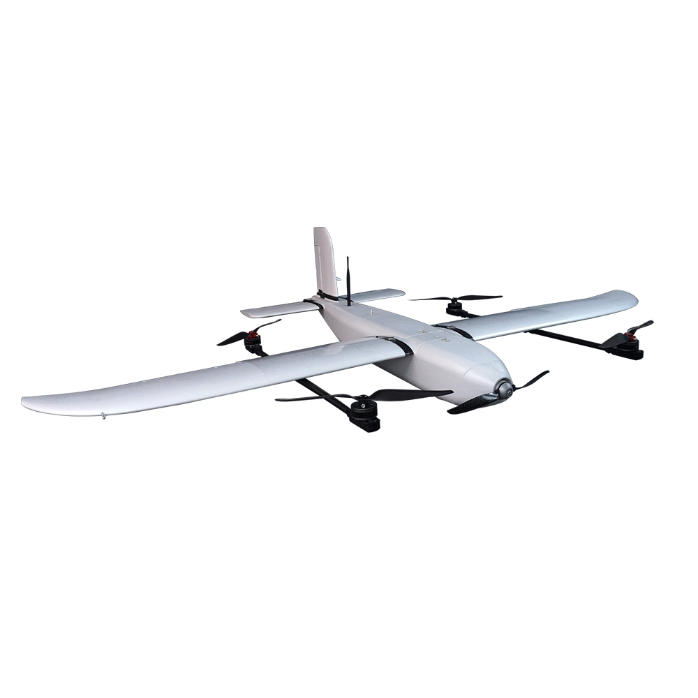
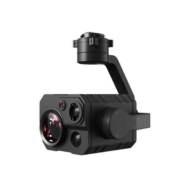
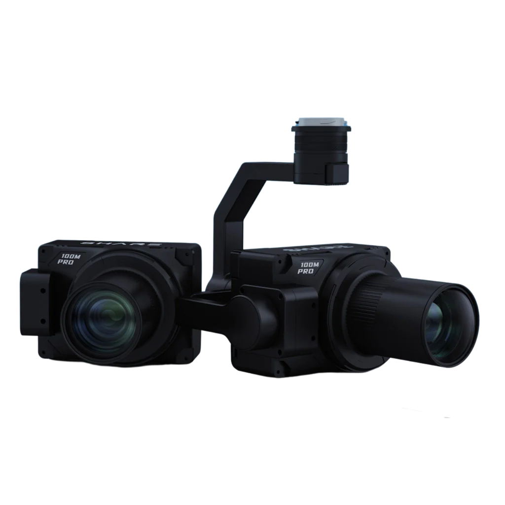
Popular Item
Related Products
.webp)