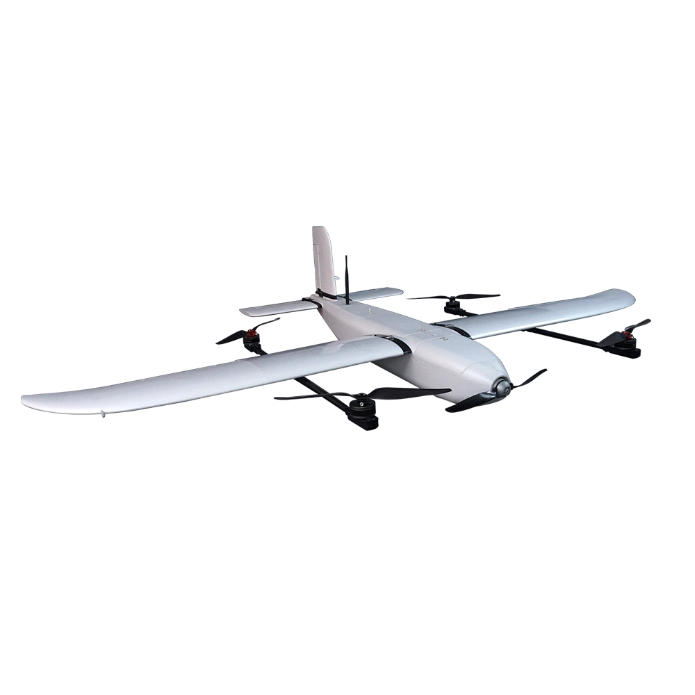
Tiger-240 VTOL for Mapping and Survey
The Tiger-240 VTOL is a high-performance, lightweight drone crafted for precision aerial mapping and surveying. Its hybrid vertical takeoff and landing (VTOL) capabilities give it both flexibility and efficiency, making it a strong choice for remote and varied mission environments.
Materials: Built from carbon fiber and fiberglass, the Tiger-240 balances toughness with reduced air resistance thanks to its streamlined aerodynamic design.
Modular Payload Cabin: Features a detachable cabin mounted on slide rails for quick payload swaps. Designed to accommodate full-frame Sony A-series mapping cameras with built-in hot shoe and shutter cable support.
The Tiger-240 VTOL is a high-performance, lightweight drone crafted for precision aerial mapping and surveying. Its hybrid vertical takeoff and landing (VTOL) capabilities give it both flexibility and efficiency, making it a strong choice for remote and varied mission environments.
Construction & Design
Materials: Built from carbon fiber and fiberglass, the Tiger-240 balances toughness with reduced air resistance thanks to its streamlined aerodynamic design.
Modular Payload Cabin: Features a detachable cabin mounted on slide rails for quick payload swaps. Designed to accommodate full-frame Sony A-series mapping cameras with built-in hot shoe and shutter cable support.
Precision & Connectivity
PPK Module: Includes a built-in PPK unit supporting 25 Hz RAW data capture—enabling post-processed positioning accuracy down to < 1 cm. Compatible with NTRIP, CORS RTK networks, and Emlid base stations.
Long-Range Link: Uses a P9 900 MHz data link offering connectivity up to 30 km, enabling robust control and telemetry coverage.
Performance Metrics
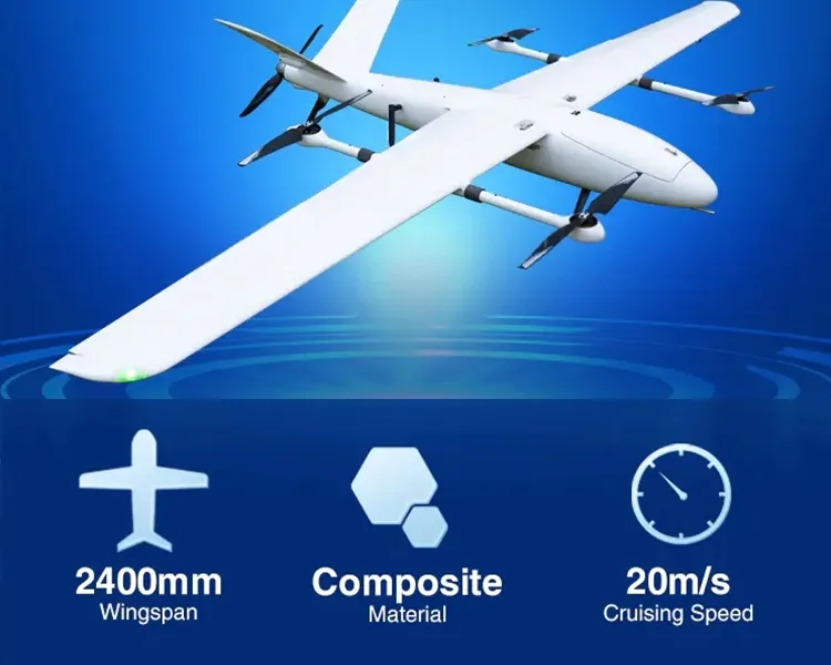
Wingspan: Approximately 2.4 m.
Takeoff Weight: Around 7 kg (varies based on configuration and payload).
Max Altitude: Operational ceiling around 400 m (local specifications).
RTF (Ready-to-Fly) Combo (Typical Package Includes)
Tiger-240 VTOL airframe with powertrain
Pixhawk Cube Orange flight controller with Here 3 GNSS module
DA16S+ Radio Controller
C-RTK 2 PPK module (ground station)
Carrying case, assembly, and flight testing services
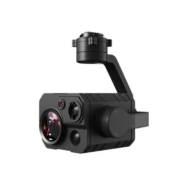
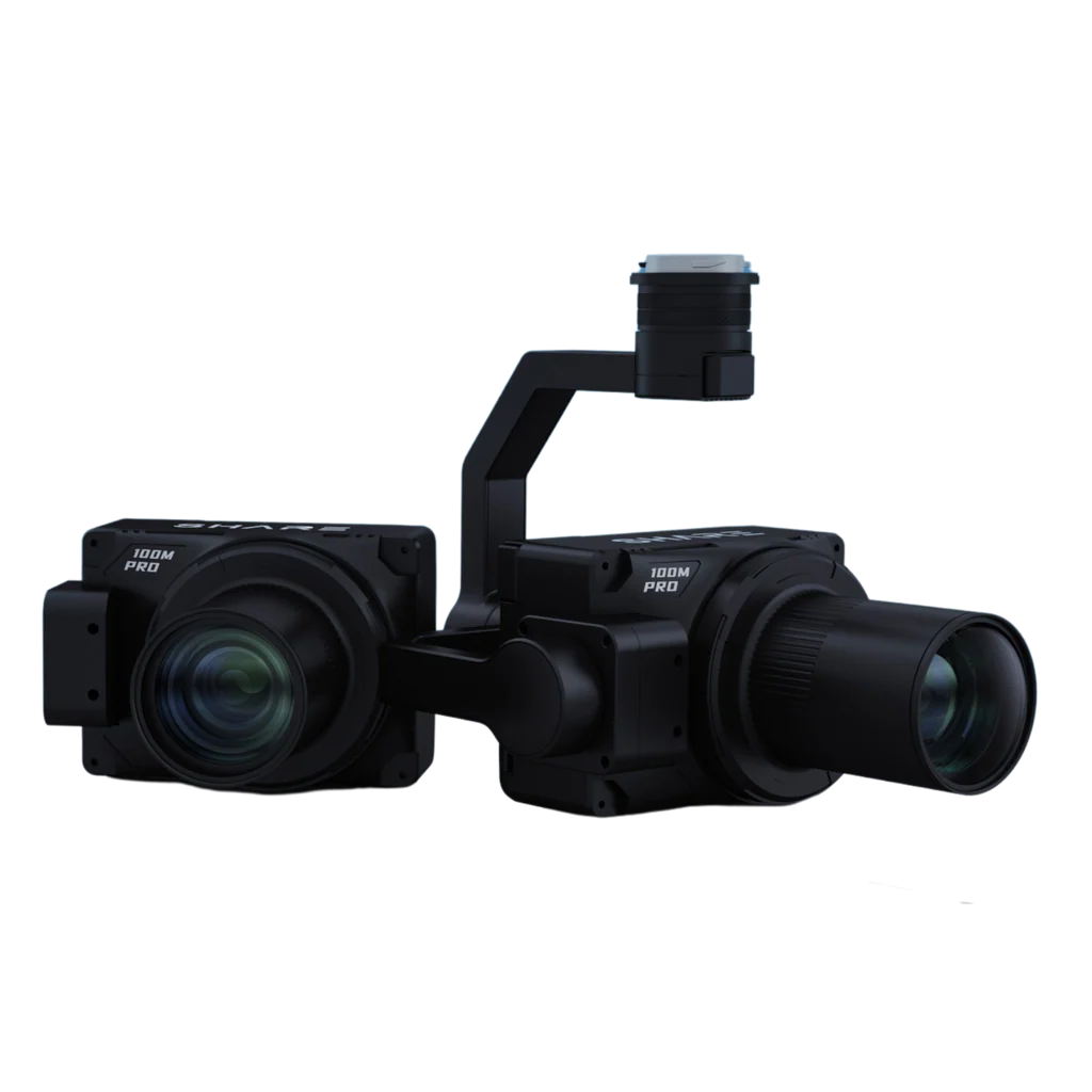
Optional payloads like the Map-A7R full-frame mapping camera and dedicated 35 mm mapping lens
Ideal Use Cases
High-Precision Mapping: Particularly well-suited for generating orthophotos and elevation models when paired with mapping-grade cameras.
Quick Deployment: Rapid assembly and flight prep make it practical for repeat missions across diverse sites.
Sturdy & Efficient: Offers stable flights with minimal resistive drag and easy payload interchange for surveying adaptability.
Summary Table
| Feature | Specification or Description |
|---|---|
| Materials | Carbon fiber + fiberglass; aerodynamic design |
| Payload Integration | Detachable cabin, Sony A-series capable, hot shoe support |
| Navigation | PPK module, <1 cm accuracy, supports RTK & base corrections |
| Data Link | 900 MHz P9 link with 30 km range |
| Dimensions & Weight | Wingspan ≈ 2.4 m, takeoff weight ≈ 7 kg |
| RTF Package | Includes flight control, radios, PPK station, optional camera |
Popular Item
Related Products
.webp)