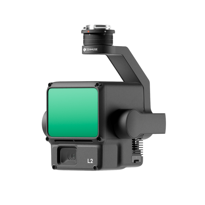
DJI Zenmuse L2 – DJI LiDAR
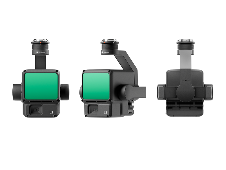
The Zenmuse L2 is DJI’s next-generation lightweight LiDAR payload, integrating a frame-based LiDAR scanner, a self-developed high-accuracy IMU, and a 4/3 CMOS RGB mapping camera, all stabilized on a three-axis gimbal. It serves as a turnkey solution when paired with DJI’s Matrice 300 RTK or Matrice 350 RTK and DJI Terra software.
Vertical Accuracy: 4 cm
Horizontal Accuracy: 5 cm (at ~150 m altitude)
Ready-to-Go IMU: No warm-up time required; immediately operational after power-on
Survey Efficiency: Captures LiDAR and RGB data across ~2.5 km² per flight
The Zenmuse L2 is DJI’s next-generation lightweight LiDAR payload, integrating a frame-based LiDAR scanner, a self-developed high-accuracy IMU, and a 4/3 CMOS RGB mapping camera, all stabilized on a three-axis gimbal. It serves as a turnkey solution when paired with DJI’s Matrice 300 RTK or Matrice 350 RTK and DJI Terra software.
Key Features & Performance
Enhanced Accuracy & Efficiency
Vertical Accuracy: 4 cm
Horizontal Accuracy: 5 cm (at ~150 m altitude)
Ready-to-Go IMU: No warm-up time required; immediately operational after power-on
Survey Efficiency: Captures LiDAR and RGB data across ~2.5 km² per flight
Superior LiDAR Capabilities
Detection Range: Up to 250 m at 10% reflectivity and 100 klx; extends to 450 m at 50% reflectivity and 0 klx
Laser Spot Size: 4×12 cm @ 100 m (1/5 the size of Zenmuse L1)
Point Cloud Rate:
Single return: up to 240,000 points/sec
Multiple returns: up to 1,200,000 points/sec
Supports 5 Returns: Ideal for penetrating foliage and capturing ground beneath dense canopy
Scanning Modes:
Repetitive: Uniform, high-precision mapping
Non-repetitive: Deep penetration and structural scanning
Advanced RGB Mapping Camera
Sensor: 4/3 CMOS with mechanical shutter
Resolution: 20 MP with 3.3 µm pixel size
Rapid Capture: Minimum photo interval of 0.7 seconds
Longevity: Rated for 200,000 shutter cycles
Versatile Use: Captures photos/videos separately from LiDAR data as needed
Built-In Processing & Usability
Live Visualization: View RGB, point cloud, or side-by-side modes via DJI Pilot 2
Real-Time Metrics: Includes laser rangefinder (RNG) for safety and point cloud color modes (Reflectivity, Height, Distance, RGB)
One-Click Processing: DJI Terra enables fast point cloud generation, DEM creation, ground classification, and model export
Built for Robust Environments
Durable Build: IP54-rated for dust and light water resistance
Flight Compatibility: Seamless integration with Matrice 300 RTK and Matrice 350 RTK platforms
Typical Applications
Ideal for professionals across sectors such as:
Land Surveying & Mapping
Infrastructure & Powerline Inspection
Forestry Monitoring (canopy penetration)
Construction Monitoring & Digital Terrain Modeling (DEM)
Asset Management & Terrain Analysis
Quick Comparison: Zenmuse L1 vs L2
| Feature | Zenmuse L1 | Zenmuse L2 |
|---|---|---|
| Detection Range | Shorter | +30% improved range |
| Laser Spot Size | Larger | 1/5 smaller—higher detail |
| Return Modes | Up to 3 returns | Up to 5 returns |
| Sampling Rate | ~160 kHz | 240 kHz—faster data capture |
| RGB Camera | 1″ sensor, slower | 4/3 sensor, faster capture |
| IMU | Warm-up required | Instant-on (no warm-up) |
In Summary
The DJI Zenmuse L2 raises the bar in aerial LiDAR tech—offering unmatched precision, speed, and ease of use. With its powerful sensor suite, real-time visualization, agile RGB capabilities, and seamless integration with DJI Terra and flight platforms, it delivers enterprise-grade, turn-key geospatial solutions for a wide array of applications.
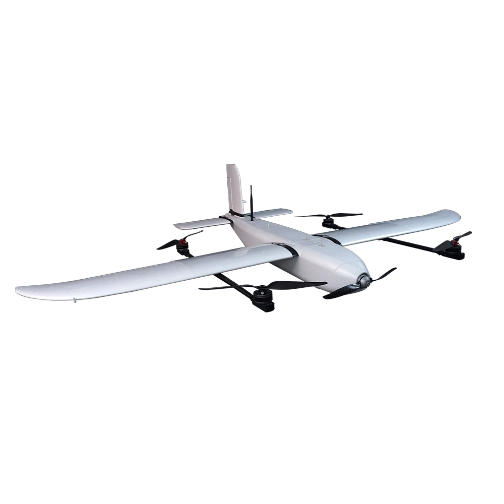
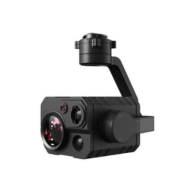
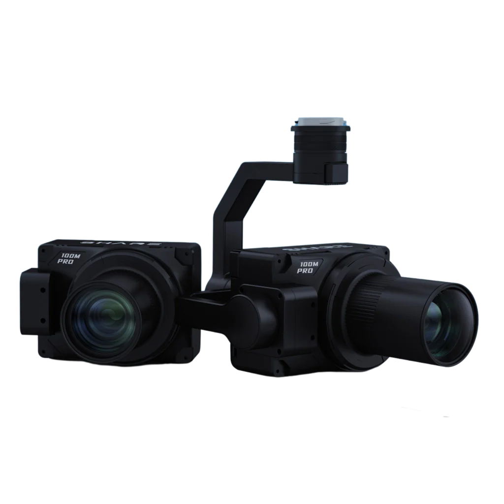
Popular Item
Related Products
.webp)