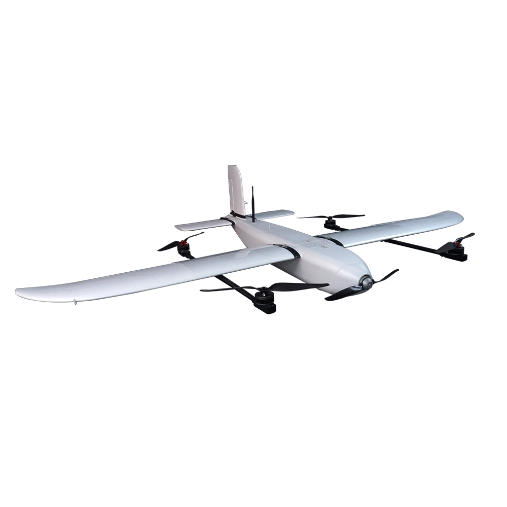
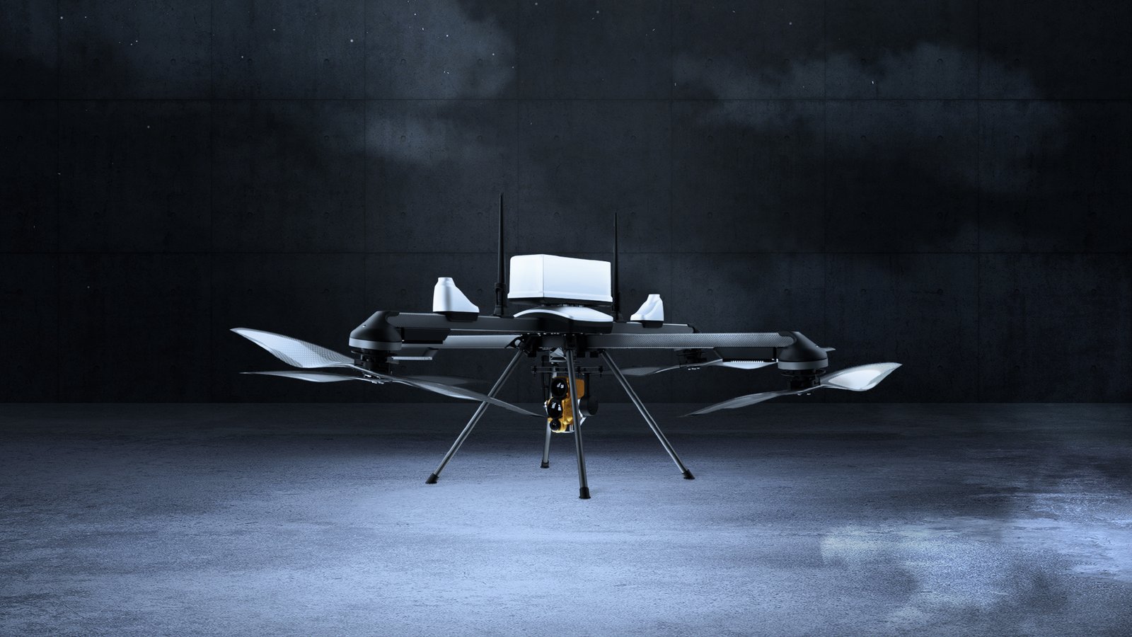
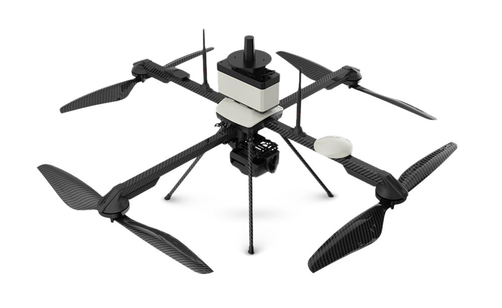
IdeaForge Q6
The ideaForge Q6 is a versatile, small-category unmanned aerial vehicle (UAV) designed for high-precision mapping, surveying, and surveillance applications. Recognized for its lightweight design and advanced capabilities, the Q6 is suitable for both defense and civil sectors.
Weight: < 6 kg (including battery and maximum payload)
Size: < 1.5m x 1.5m (with propellers)
Endurance:
Up to 60 minutes with daylight payload (takeoff up to 1000m AMSL)
Up to 50 minutes with mapping payload
30 minutes with daylight payload at 6000m AMSL
Operational Range: Up to 10 km (Line of Sight)
Cruise Speed: 10 m/s
Flight Control: Battery-powered electric propulsion with autonomous vertical takeoff and landing
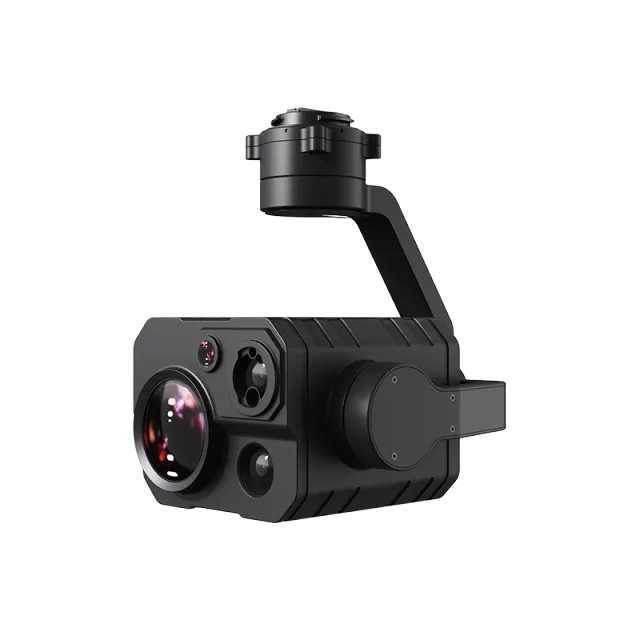
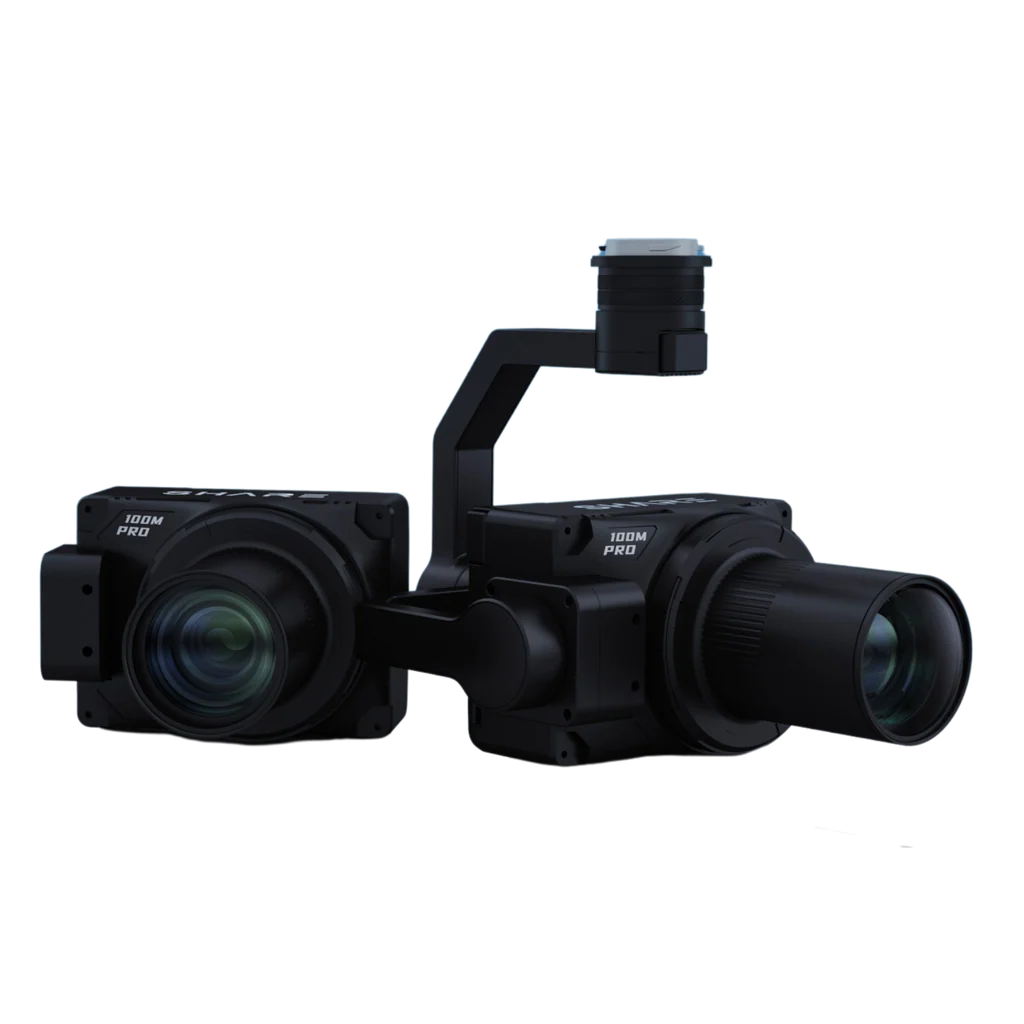
Payload Capacity: Supports dual EO/IR payloads, including a 30x HD optical camera and a 512p thermal imaging payload
🛰️ Advanced Features
Survey-Grade Mapping: Equipped with a high-resolution 24.3 MP photogrammetry camera and a 16 MP multispectral 4-band camera, the Q6 V2 offers exceptional accuracy for mapping and 3D modeling tasks.
Precision Positioning: Integrated with a state-of-the-art PPK module, the Q6 ensures centimeter-level georeferencing accuracy, even in challenging terrains.
Modular Payload Options: Supports a range of payloads, including LiDAR, oblique imaging, hyperspectral sensing, and thermal detection, making it adaptable to various mission requirements.
📦 Included Software
BlueFire Ground Control Station: Facilitates intuitive flight planning and real-time monitoring, enhancing operational efficiency.
BlueFire Live!: An optional add-on for live video streaming and multi-user payload control, supporting seamless integration with Command & Control Centers.
📸 Applications
Public Safety: Ideal for emergency response, disaster relief, surveillance, and firefighting operations.
Geospatial Intelligence: Suitable for glacier mapping, urban landscape surveying, forest studies, and industrial corridor monitoring.
Defense & Border Security: Provides real-time intelligence, surveillance, and reconnaissance capabilities.
Mining & Infrastructure: Efficient for large-scale mapping projects and infrastructure inspections.
🏆 Certifications & Recognition
Achieved DGCA Type Certification, ensuring compliance with India's civil aviation standards.
Ranked among the top dual-use drone manufacturers globally in 2023 by Drone Industry Insights.
Popular Item
Related Products
.webp)