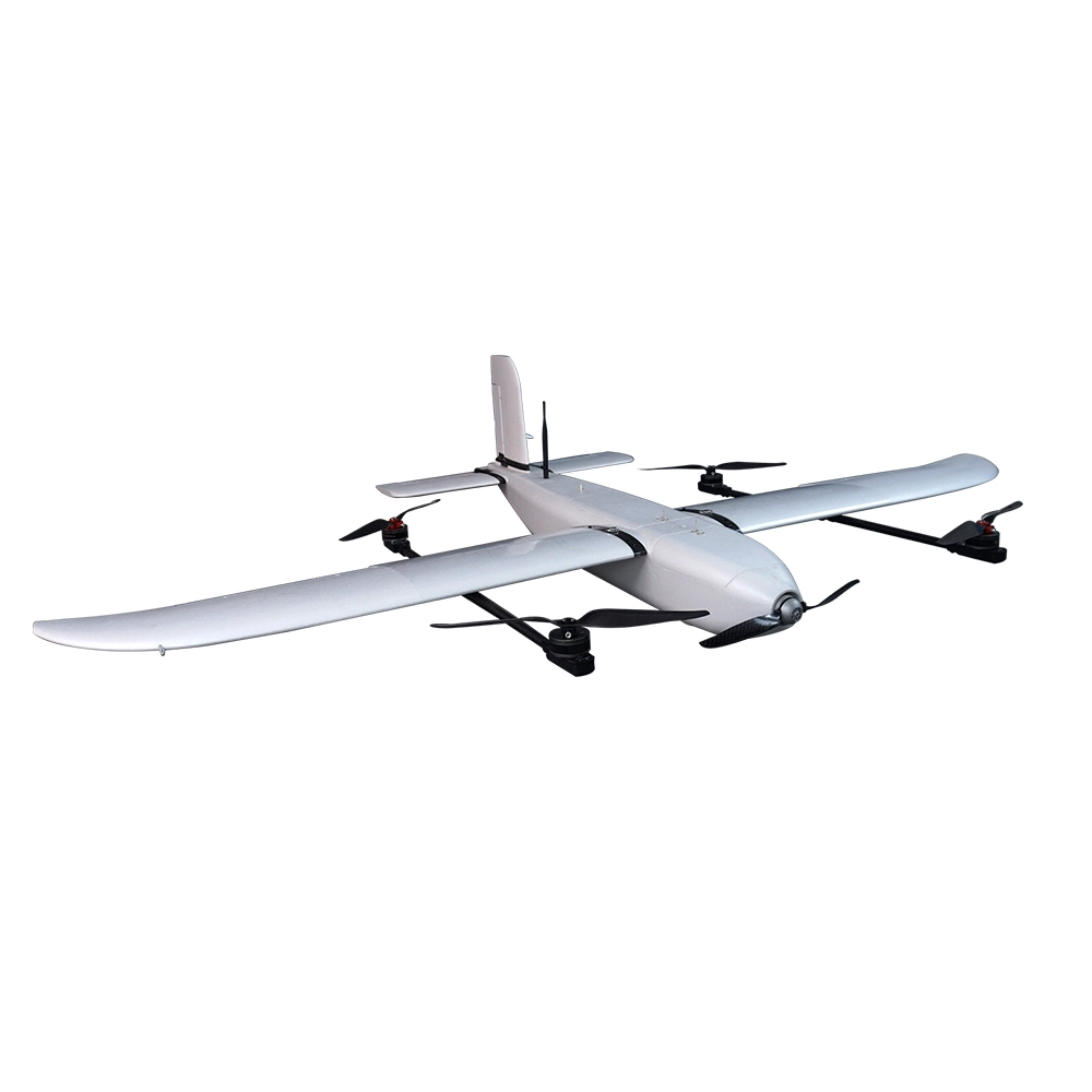
IdeaForge RYNO
The ideaForge RYNO (short for “Mapping Maestro”) is a micro-category, fixed-wing drone crafted specifically for precision aerial mapping. Weighing under 2 kg, it’s built to meet Survey of India (SOI) standards and excel in India’s diverse landscapes.
Crown Jewel of Mapping
Engineered with an advanced mapping payload and survey-grade PPK module, RYNO offers centimetre-level accuracy—notably <5 cm in X/Y and <10 cm in altitude at 60 m AGL.
SOI-Approved & Swamitva-Ready
Endorsed by the Survey of India and deployed across the massive Swamitva Yojana for mapping Indian villages. This validation underscores its reliability in real-world operations.
The ideaForge RYNO (short for “Mapping Maestro”) is a micro-category, fixed-wing drone crafted specifically for precision aerial mapping. Weighing under 2 kg, it’s built to meet Survey of India (SOI) standards and excel in India’s diverse landscapes.
Key Features & Capabilities
Crown Jewel of Mapping
Engineered with an advanced mapping payload and survey-grade PPK module, RYNO offers centimetre-level accuracy—notably <5 cm in X/Y and <10 cm in altitude at 60 m AGL.
SOI-Approved & Swamitva-Ready
Endorsed by the Survey of India and deployed across the massive Swamitva Yojana for mapping Indian villages. This validation underscores its reliability in real-world operations.
Impressive Flight Performance
Offers a flight time of 40 minutes+, up to 4 km LOS range, and can map 1 sq km at 120 m AGL in a single sortie.
Built for India’s Conditions
Rugged IP53 rating for dust and drizzle, temperature tolerance from –10 °C to +50 °C, fast deployment (<10 min), and ultra-portability via backpack transport.
Flight Safety & Autonomy
Equipped with fail-safe features—auto return on signal loss/low battery/high winds, terrain avoidance, encrypted communication, and NPNT readiness for compliance with Indian drone laws.
Technical Snapshot
| Spec | Value |
|---|---|
| Maximum Takeoff Weight | Under 2 kg |
| Flight Time | 40 + minutes |
| Operational Range | Up to 4 km LOS |
| GSD Accuracy | <5 cm (X/Y), <10 cm (Z) at 60 m AGL |
| Mapping Area per Flight | 1 sq km at 120 m AGL |
| Environmental Tolerance | IP53; –10 °C to +50 °C |
| Deployment Time | Under 10 minutes |
| Regulatory Compliance | NPNT-ready, minimal training needs |
| Mobility & Form Factor | Backpack portable, micro-category |
Ideal Use Cases
The ideaForge RYNO is the go-to tool for:
Rural & Village Mapping (under Swamitva Yojana)
Infrastructure projects, land surveys, and terrain modeling
Rapid deployment for mining, renewable energy, oil & gas, construction, and real estate mapping
Safe operation across difficult terrains with minimal training requirements
Summary
ideaForge RYNO redefines precision mapping in a compact, rugged form factor. Combining military-tested build quality, industry-leading accuracy, smart autonomy, and ease of use, it’s a high-impact drone that’s transforming geospatial operations across India.
Popular Item
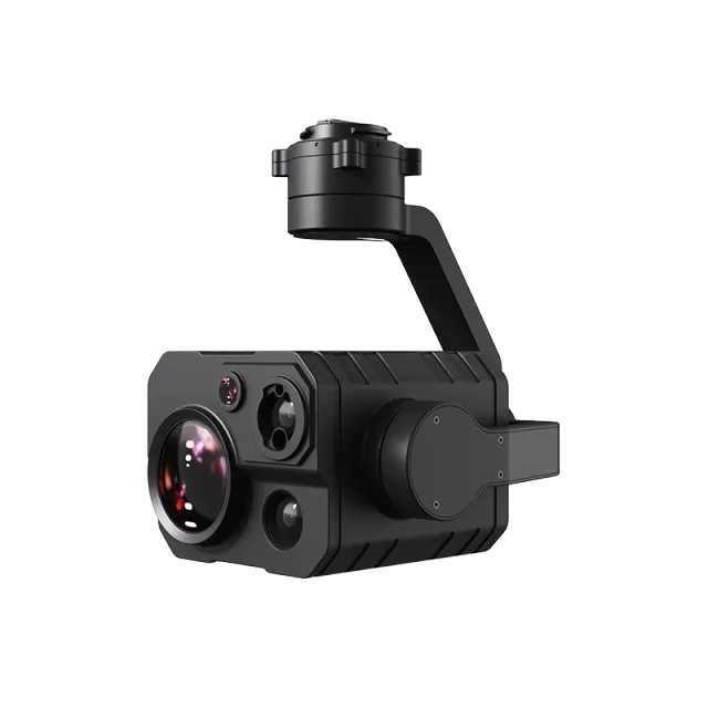
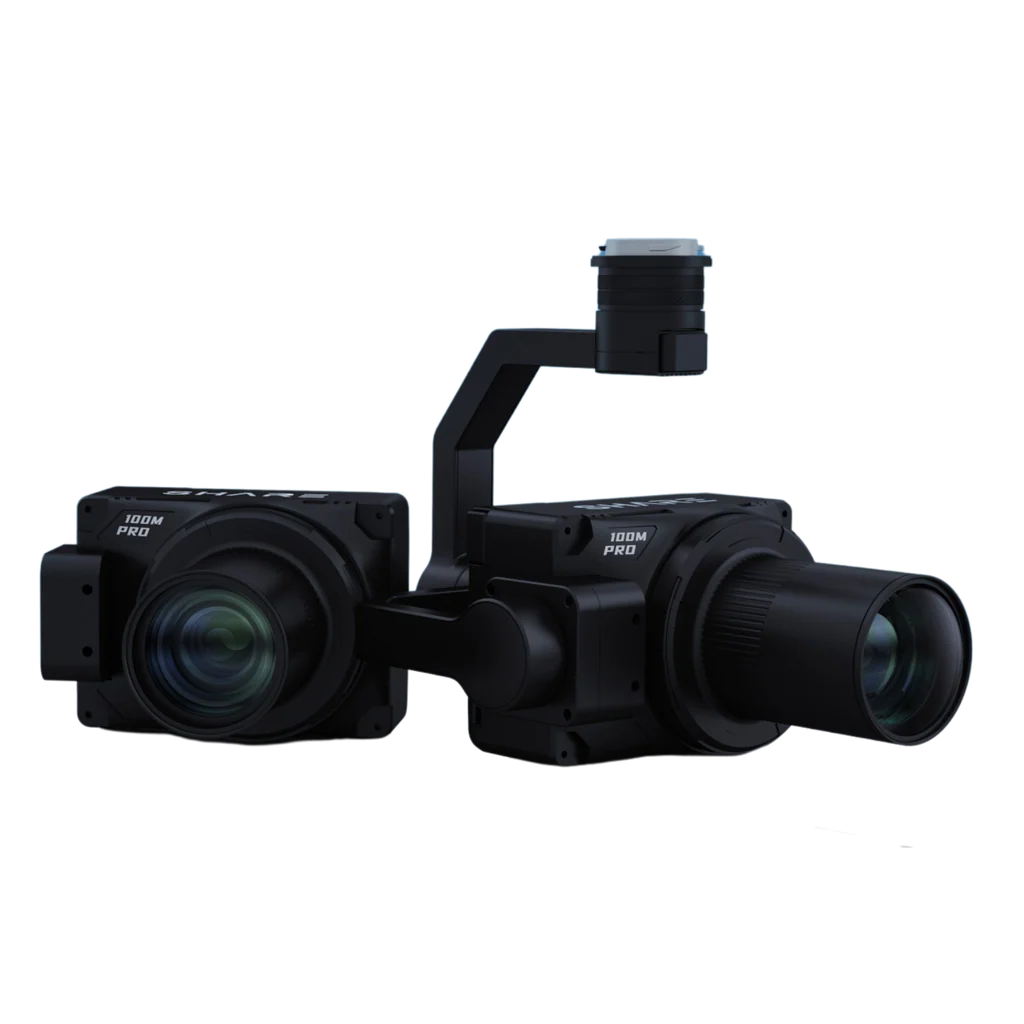
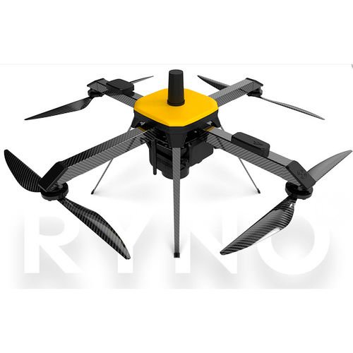
Related Products
.webp)