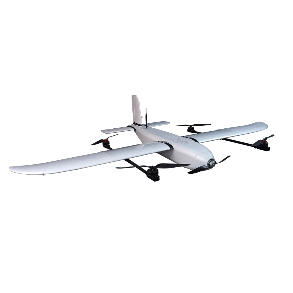
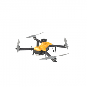
Indrones Sigma Drone 25 With RGB And Multispectral
A nimble and rugged drone engineered for accuracy and portability, the Indrones Sigma 25 balances high performance, advanced imaging, and field-ready reliability.
Type & Classification: Survey-grade quadcopter, recognized by Survey of India.
Weight (MTOW): Under 3 kg, ensuring easy transport and agility.
Flight Time: Approximately 40–50 minutes, ideal for extended missions.
Operational Range: Up to 2 km Line of Sight (LOS).
Service Ceiling: Capable of flying up to 4,000–4,500 m above sea level.
A nimble and rugged drone engineered for accuracy and portability, the Indrones Sigma 25 balances high performance, advanced imaging, and field-ready reliability.
Core Specifications
Type & Classification: Survey-grade quadcopter, recognized by Survey of India.
Weight (MTOW): Under 3 kg, ensuring easy transport and agility.
Flight Time: Approximately 40–50 minutes, ideal for extended missions.
Operational Range: Up to 2 km Line of Sight (LOS).
Service Ceiling: Capable of flying up to 4,000–4,500 m above sea level.
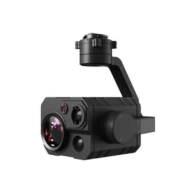
Imaging & Payload Options
Equipped for advanced data collection with swappable sensors:
RGB Camera: High-resolution visual capture.
Multispectral Sensor: Supports health mapping with NIR, red-edge, green bands for NDVI and crop diagnostics.
RTK/PPK Accuracy: Supports centimeter-level geospatial precision for mapping and surveying.
Design & Deployability
Build: Carbon-fiber frame with tool-less assembly — deployable within minutes and transportable in a single backpack.
Smart Features:
Tool-less assembly
Failsafe with encrypted communication
Cloud connectivity for predictive maintenance
Application Highlights
Ideal for:
Agriculture: Monitoring plant health, precision crop management.
Mapping & Surveying: Topographic maps, land-use studies.
Environmental & Forestry Assessment: Multi-band imaging for vegetation analysis and monitoring.
Roundup — Feature Summary
| Feature | Specification |
|---|---|
| Weight | < 3 kg (MTOW) |
| Flight Time | ~40–50 minutes |
| Range | ~2 km LOS |
| Service Ceiling | Up to ~4,500 m |
| Payload Capacity | ~300 g |
| Imaging Options | RGB + Multispectral |
| Positioning | RTK/PPK Survey-grade accuracy |
| Design | Carbon-fiber, tool-less assembly, cloud-enabled, failsafe & encrypted |
Popular Item
Related Products
.webp)